

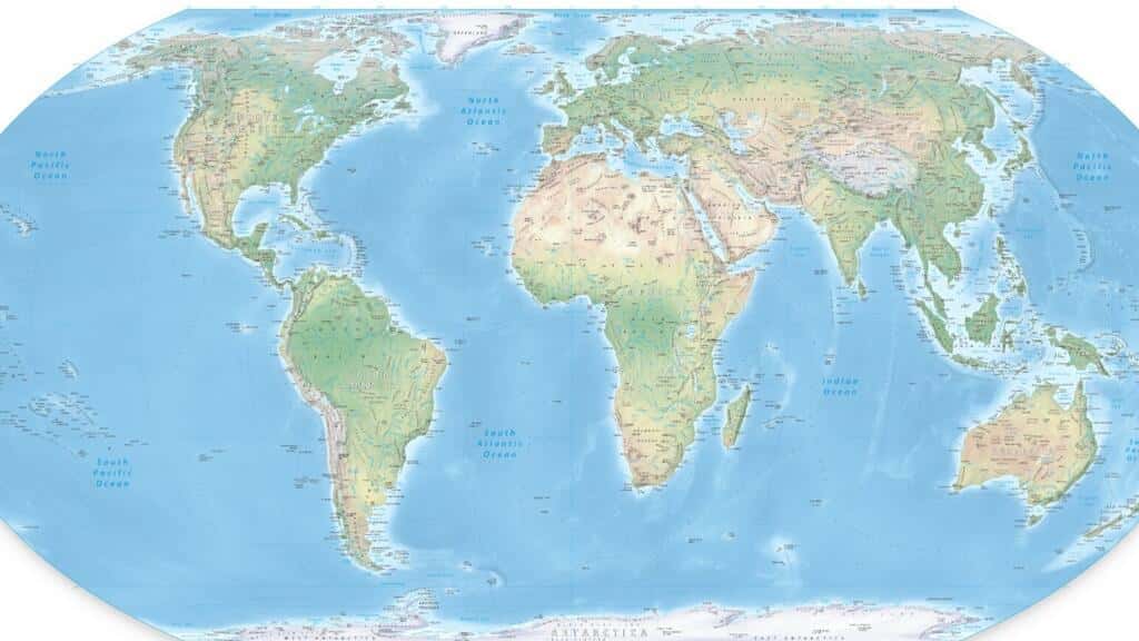
UN General Assembly votes to replace Mercator map with more accurate projection
Source Summary
The UN General Assembly voted Friday to abandon the 16th-century Mercator map in favor of a more accurate cartographic projection that better represents the true size of continents. The resolution, led by African nations and co-sponsored by France, passed with 164 votes in favor, while the US opposed and six countries abstained. The Mercator projection, created by Flemish cartographer Gerardus Mercator, has been widely used despite distorting the relative sizes of landmasses.
Why it matters
The vote reflects growing international consensus that map projections should more accurately represent continental sizes, addressing a long-standing cartographic distortion that has affected geographical education and perception globally.

